30 tips for successful cross-country flying
#20: Try some virtual flying

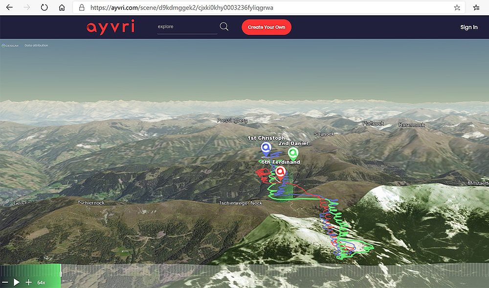
Have you ever played with the ayvri.com (previously Doarama.com) or soaringlab.eu websites? These allow you to upload your or other pilot’s IGC or GPS tracks and play them in 3D. Which route did they take? How effective was that route? Where were the best thermals? You can also compare the glides of different models using these websites. The 3D display of flights is especially useful when going to a new, unknown flying area.

From one of the online XC leagues, download several flights of a local skygod someone who often flies in the respective area. That pilot will know where the house thermals are located. This will give you a good idea of the local terrain. Once you are on the take-off, the area will not seem as unfamiliar to you. And after your flight, you can compare it to the flights of others on the same day. This is a wonderful opportunity to see what others did better than you – or you did better than them.